Day 6 – North To The Antholzer See
Today’s Adventure
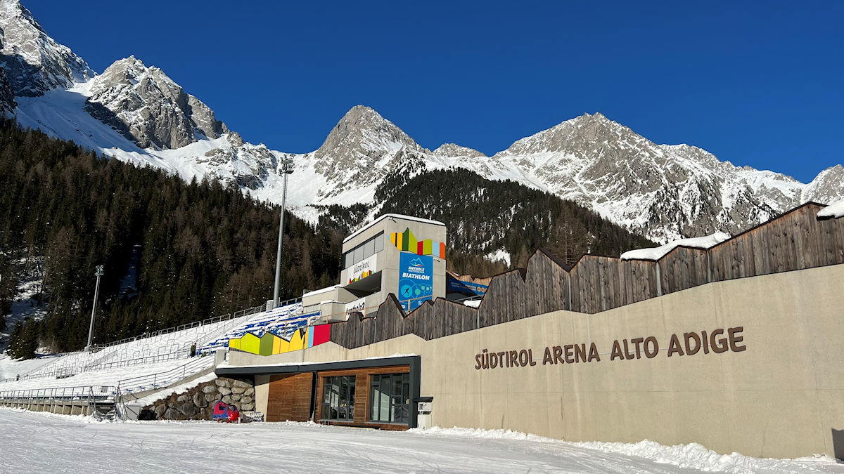
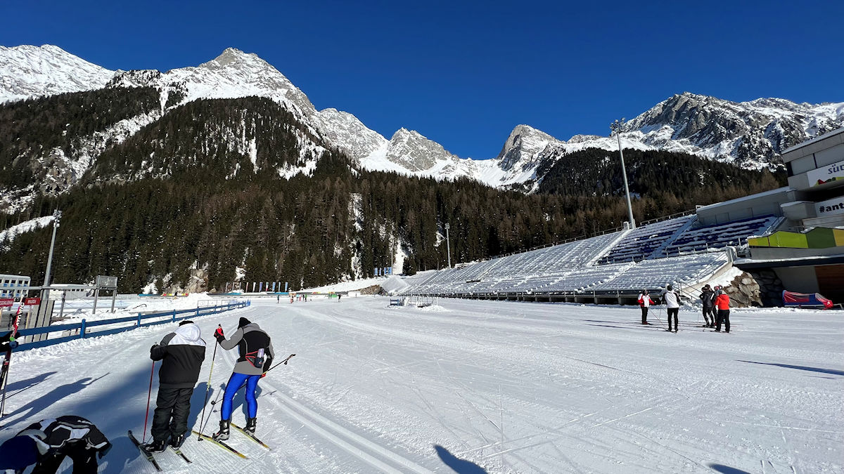
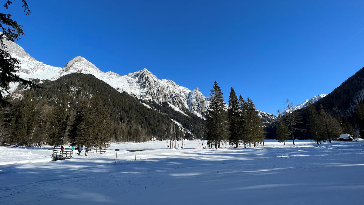
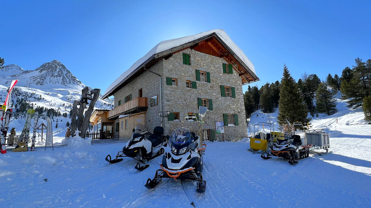
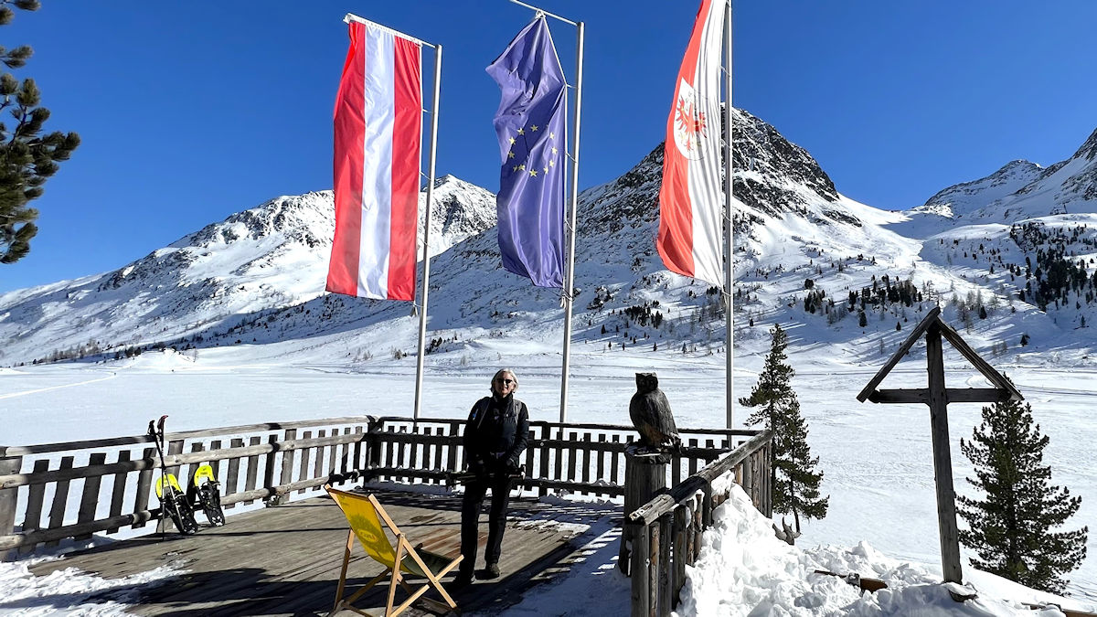
Today Cindy and I explored a scenic valley called the Antholzertal (or ‘Valle Anterselva’ in Italian). This valley runs all the way up to the border with Austria and features a beautiful mountain lake called the Antholzer See. Just below the lake is the Südtirol Arena, a facility designed specifically for biathlon competition. This arena will be the biathlon venue for the upcoming 2026 Winter Olympics (based in Cortina d’Ampezzo) and has been the location for numerous biathlon World Cup events and world championships, including one that was held just last week.
Our adventure began at the Südtirol Arena, about 25 miles away from our base in Innichen. We took a train from Innichen to Olang and then caught a bus for the rest of the hour long trip. We’ve passed through Olang any number of times on the train on trips to and from Innichen, but we’ve never been up this valley and it was new territory for us.
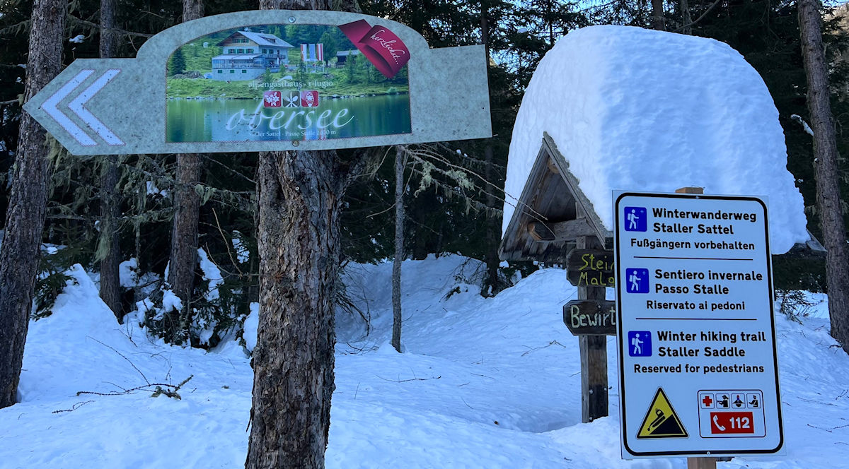
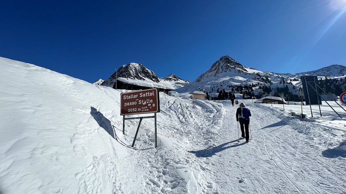
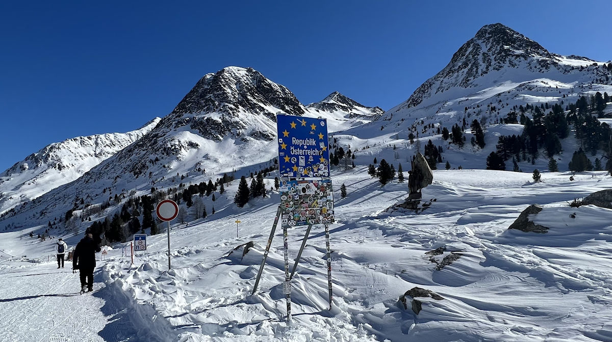
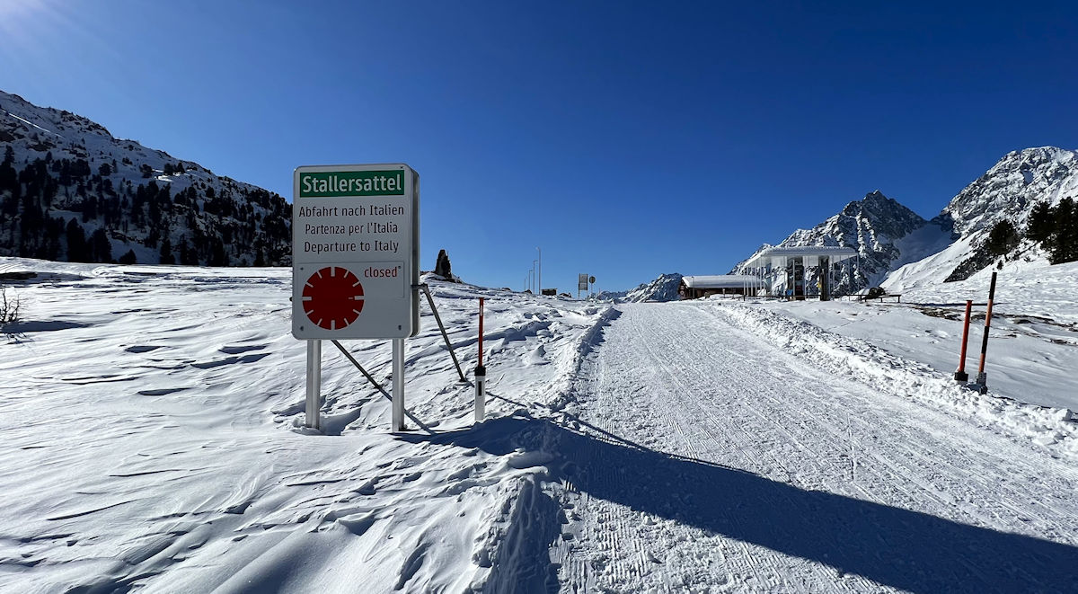
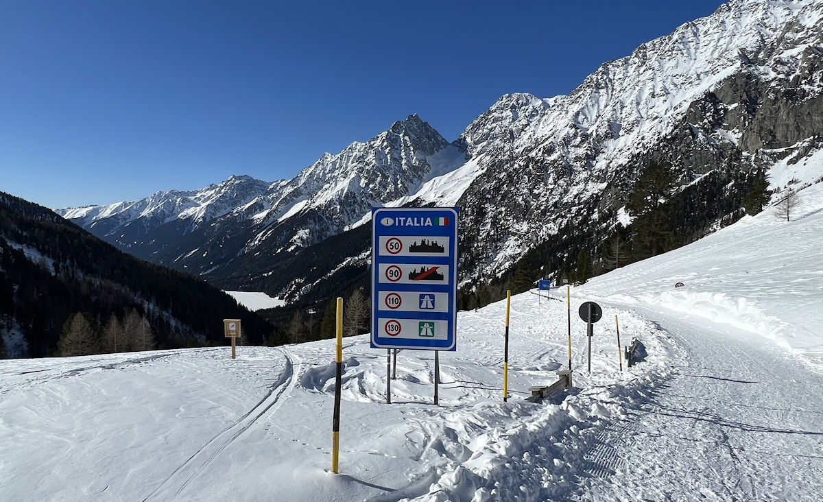
After taking a quick look at the arena we headed towards the lake to start our hike. We quickly found the winter hiking trail that would take us up to the Staller Sattel, a mountain pass 1,300 feet higher than our starting point. What’s interesting about the Staller Sattel is that it lies on the international border between Italy and Austria, but thanks to the European Union’s Schengen Agreement we wouldn’t need a passport to cross in either direction. The fact is that there aren’t any gates or guards – just a few simple signs. It’s a bigger deal to drive into North Carolina from Virginia!
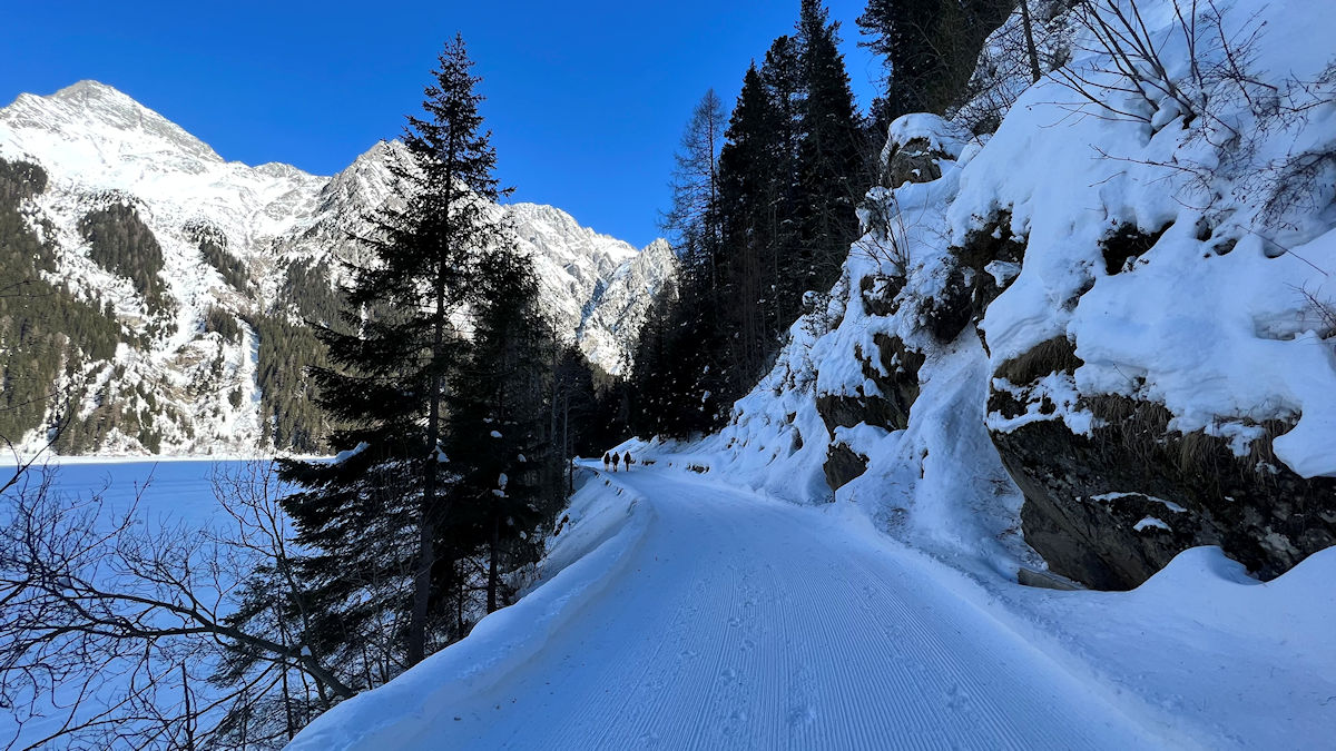
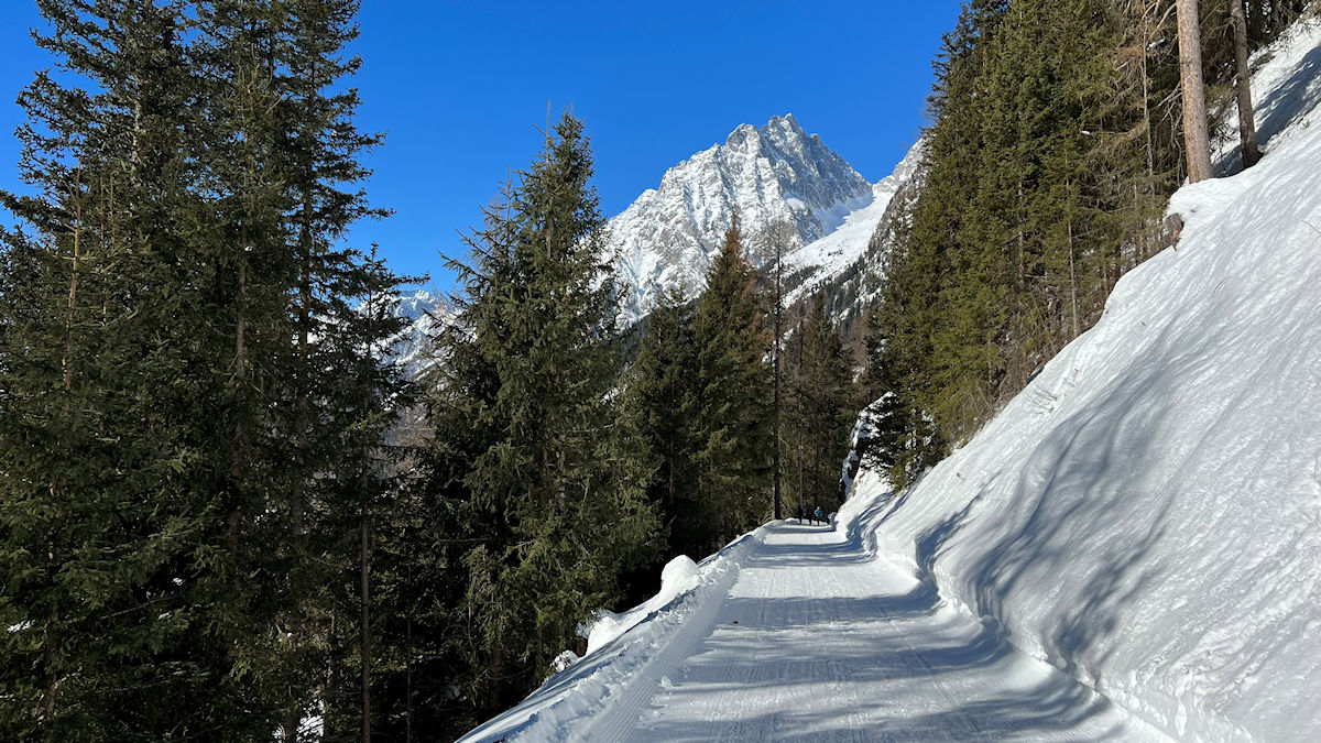
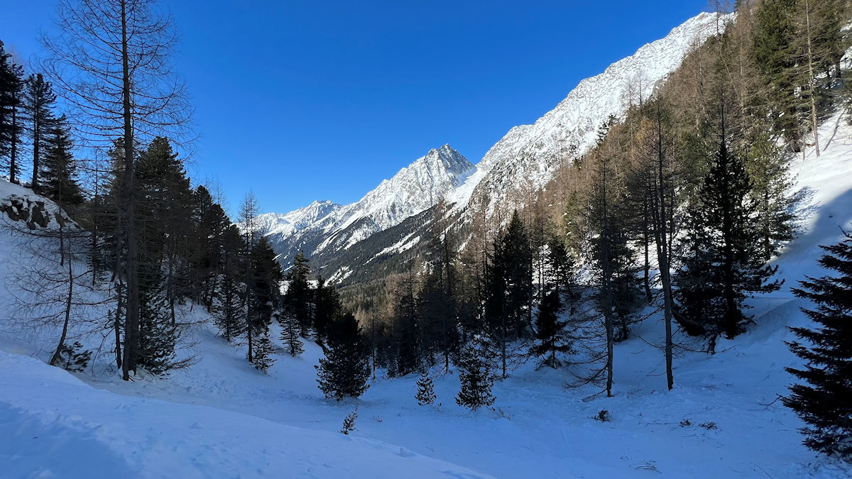
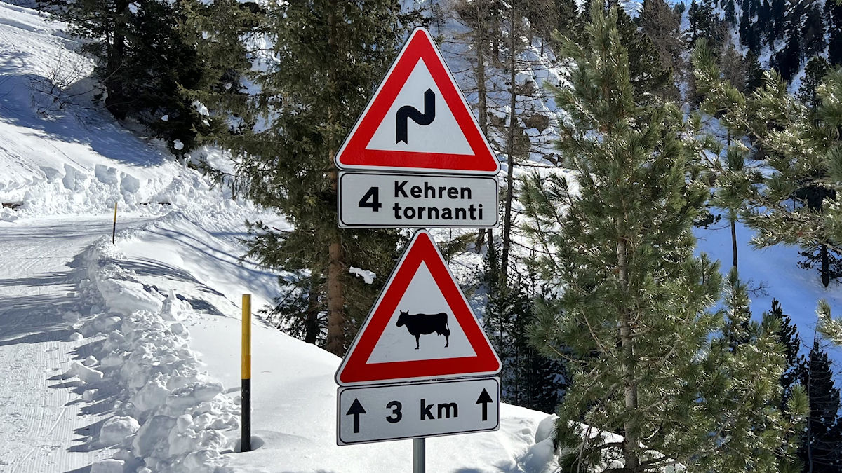
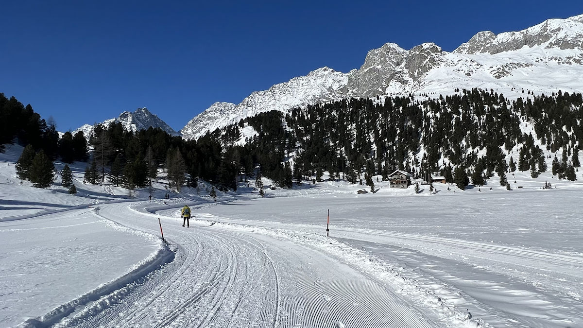
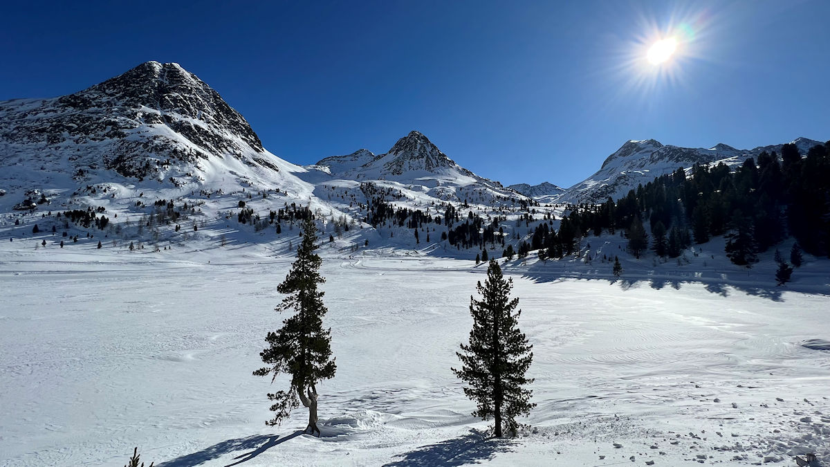
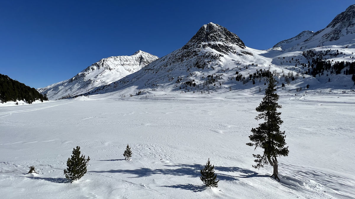
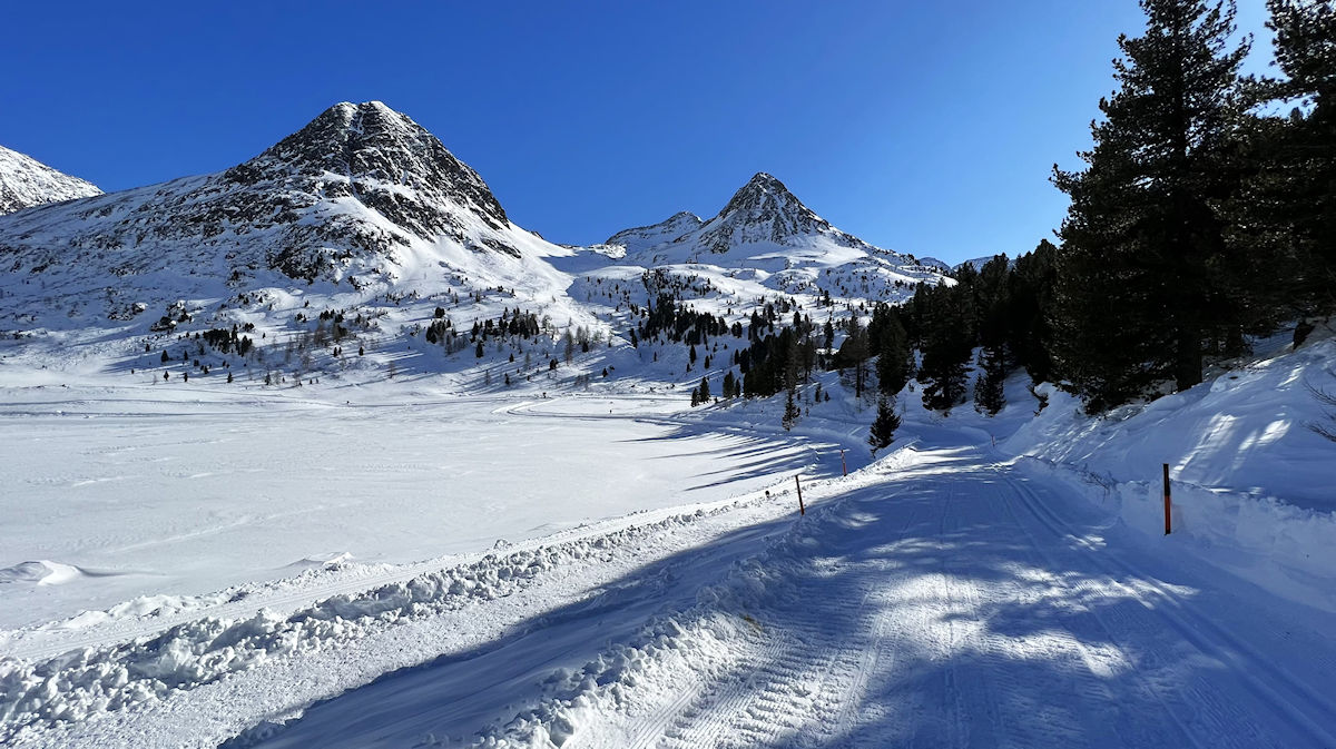
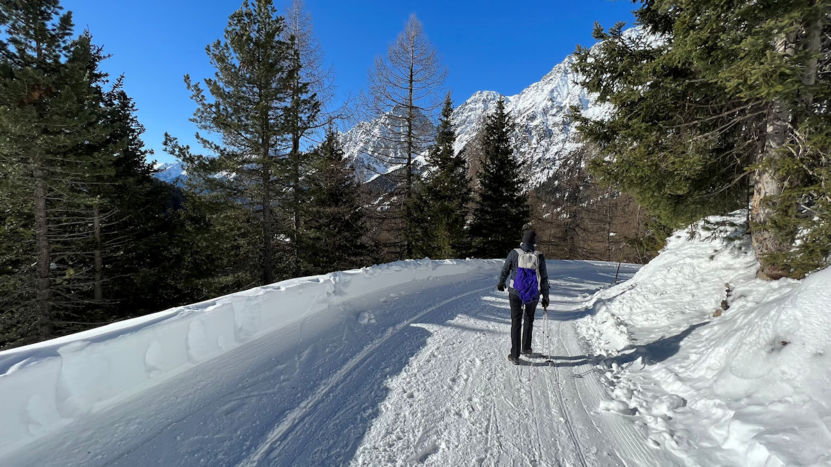
What started out as a pleasant stroll along the southern shore of the Antholzer See soon morphed into a real monster of a hike – a sustained 3-1/2 mile climb through a series of switchbacks and even a tunnel to reach the Staller Sattel. When the road finally topped out at the pass we continued a relatively short distance down the other side to the Obersee, another beautiful mountain lake. This lake is surrounded by towering mountains, offers great views, and in the winter has a nicely developed network of cross-country ski trails that we may need to explore on a future trip.
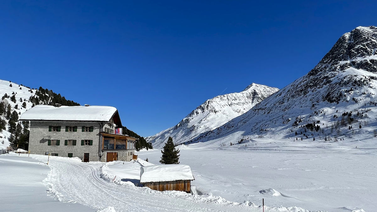
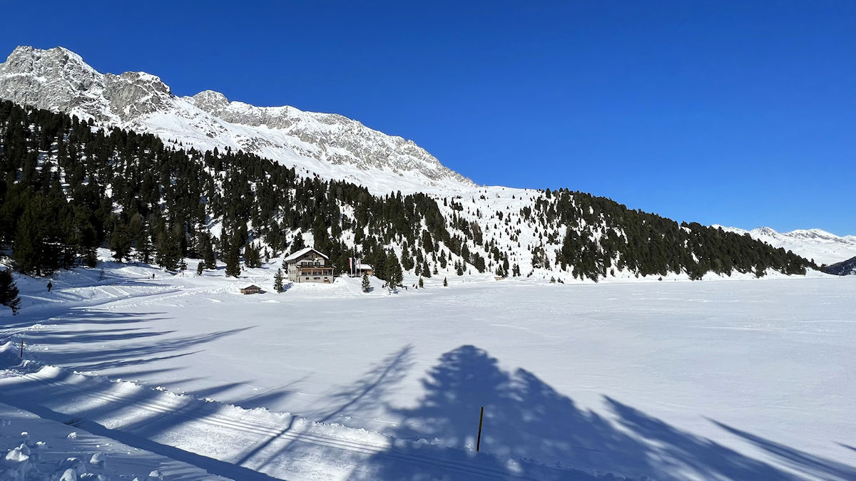
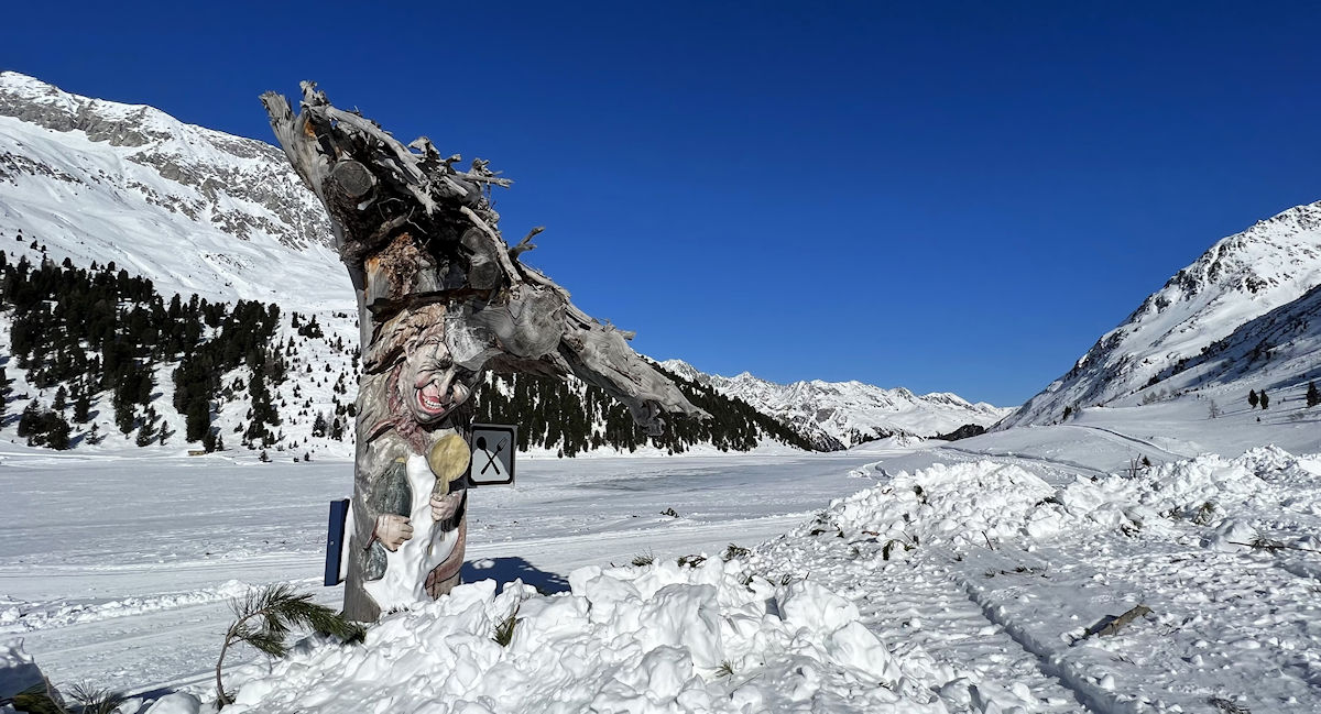
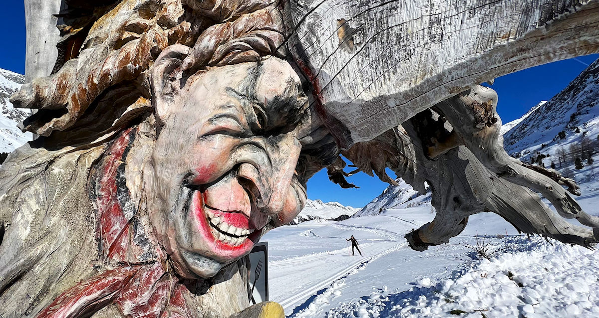
We followed a cross-country skiing and hiking trail around the lake to the Alpengasthaus Obersee, the only structure in sight. The weather was sunny and the temperatures weren’t terribly cold so eating outdoors might have been an option as there was no sun terrace. There was a large enclosed sun room with glass on three sides, but it seemed rather noisy and rather crowded so we chose a quiet corner table in one of the small interior dining rooms. The restaurant was actually quite busy given that just about everyone there arrived on foot, on skis, or on a sled!
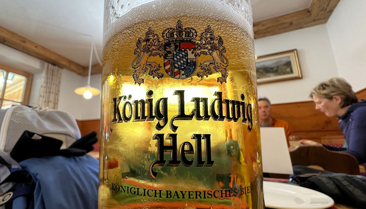
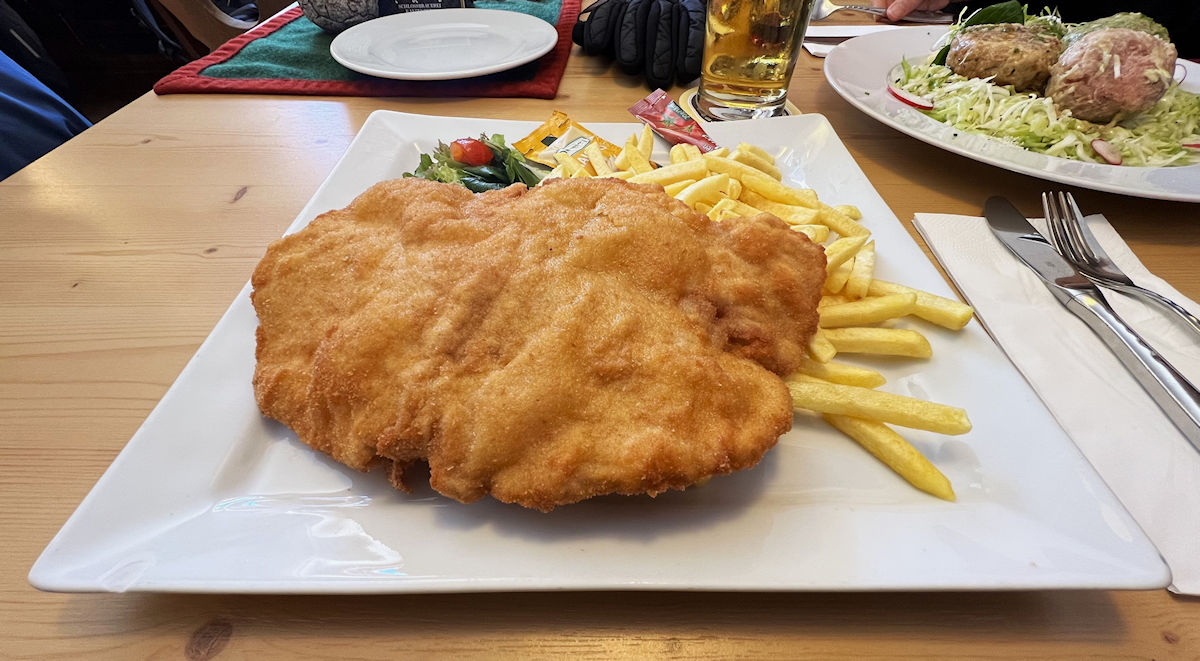
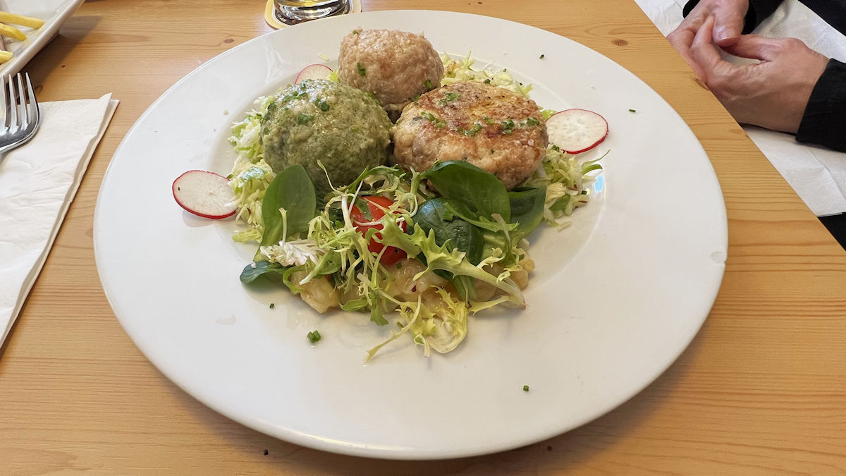
For lunch Cindy ordered a trio of Tyrolean dumplings – one each with mushroom, beetroot, and spinach with cheese. They were served with a warm potato salad – I almost called it a ‘German’ potato salad but didn’t because we were in Austria! Stuart was a bit limited in choices due to his food allergies so he went with the old reliable wiener schnitzel with fries, always good after a long morning on the trail.
When it came time to pay our tab I was amazed that even in this remote location they were able to accept Apple Pay. Each waiter had a small wireless terminal so all you have to do is hold your iPhone nearby and wait for the ‘ding’. It used to be that these mountain huts would only accept cash, but the advent of inexpensive and reliable satellite systems have made the acceptance of credit cards a much more viable option.
After lunch we crossed back over the border into Italy for the mostly downhill hike back to the Antholzer See and our nearby bus stop. We decided to wear our ice cleats as the trail surface, at least in the upper section, was a mixture of hard packed snow and ice. We saw little traffic headed in either direction on this leg of the hike, only a few sleds and a couple of cross-country skiers. When we finally reached the lake we took the route out onto the ice instead of going around as this was a good shortcut and, more importantly, put us in the sunshine.
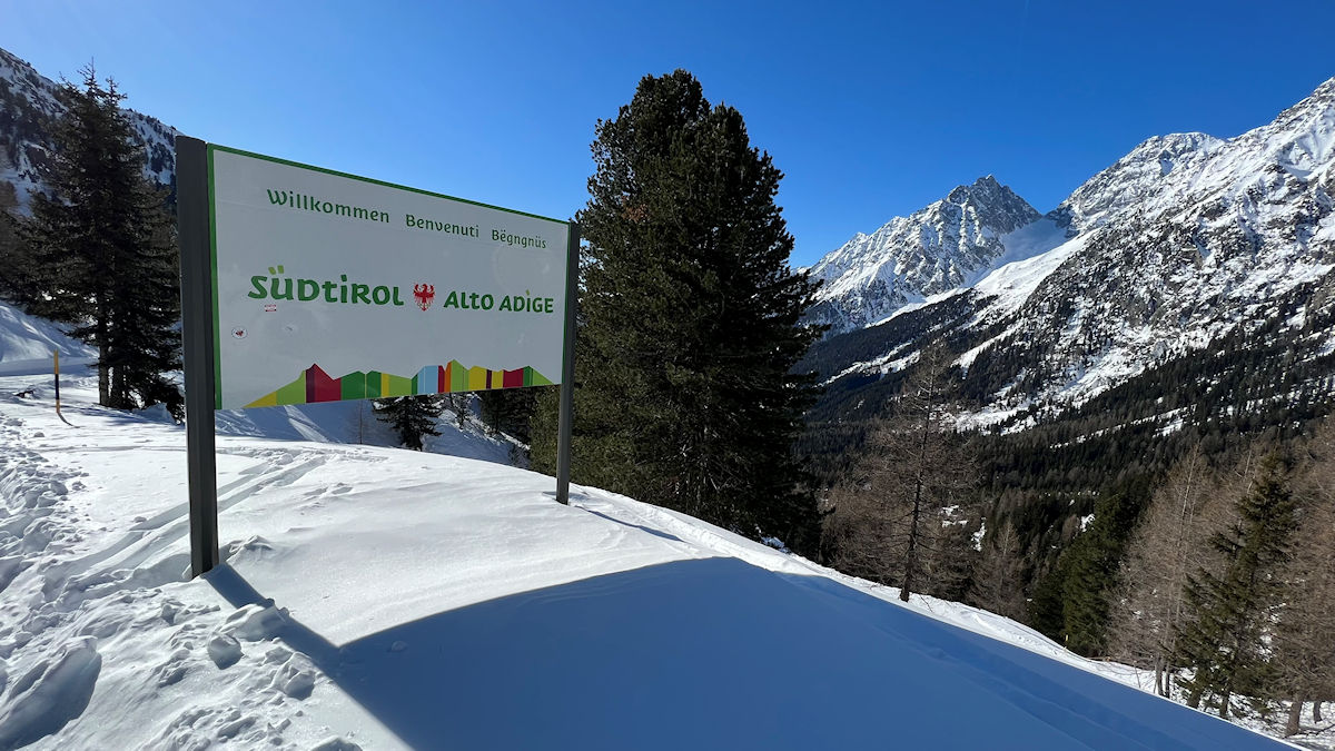
On a side note, we can now honestly say that we walked from Italy into Austria for lunch. All told we were on the trail for about 3-1/2 hours, hiked 8.8 miles, and had an elevation gain of just over 1,600 feet. We have now hiked over 50 miles in the first six days of this trip. There are a lot more adventures to come, so stay tuned!
For Innichen’s main page click here.
For Castelrotto’s main page click here.
For the entire trip’s main page click here.
Today’s Maps
Today’s Photos
Hiking Log
8.8 Total Miles
1644′ Cumulative Vertical
3:24 Time On Trail
The Meals
Breakfast : In The Apartment
Lunch : Alpengasthaus Obersee
Dinner : In The Apartment