Day 2 – A Circuit Of The Sassolungo Group
Today’s Adventure
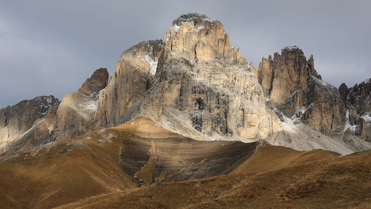
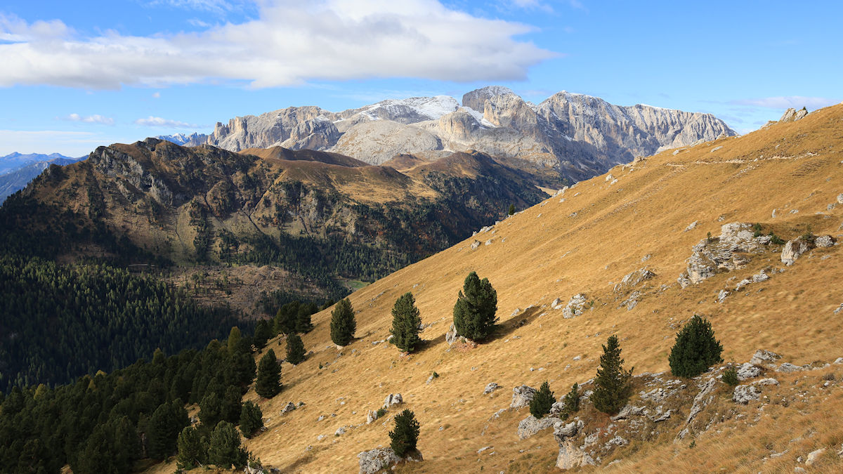
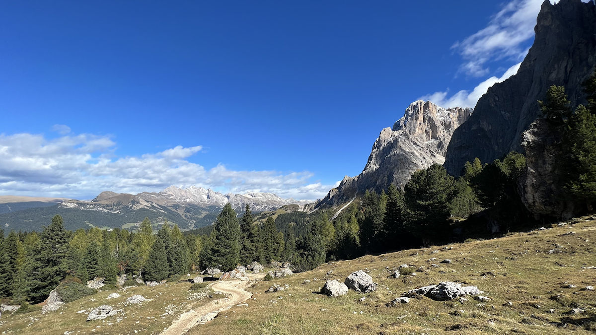
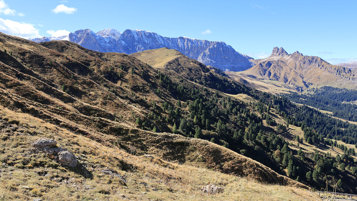
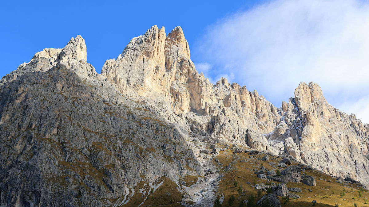
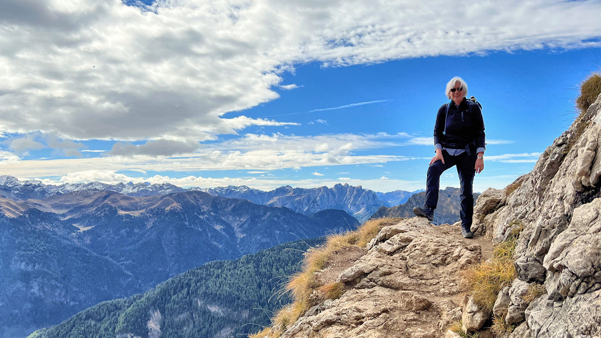
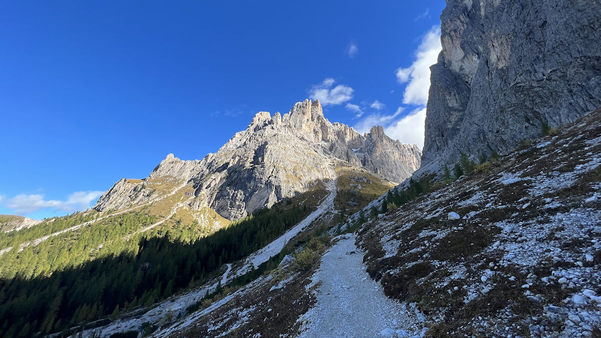
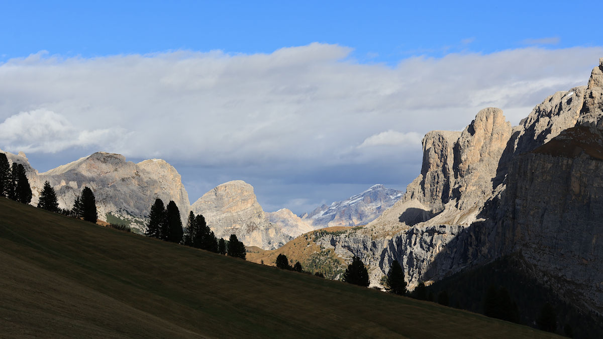
Cindy and I completed one of the signature hikes in the Dolomites today – it was a full circuit around the Sassolungo and Sassopiatto mountains, known in German as the Langkofel Gruppe.
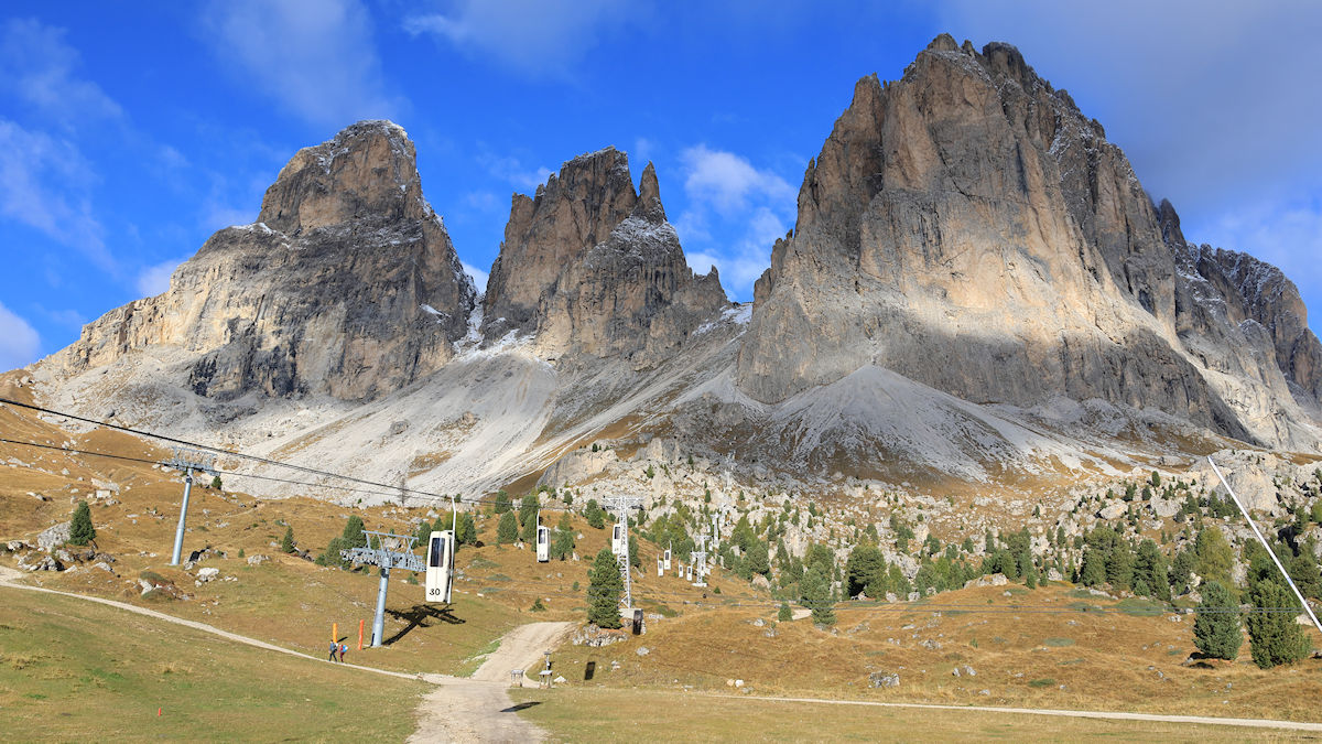
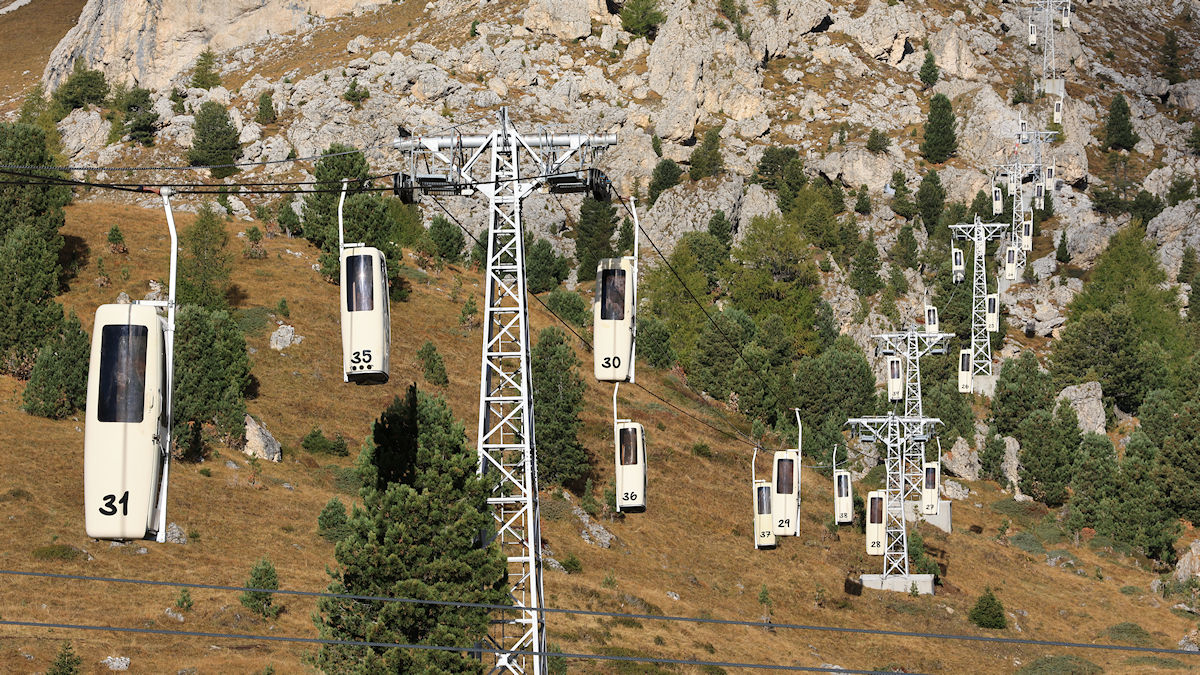
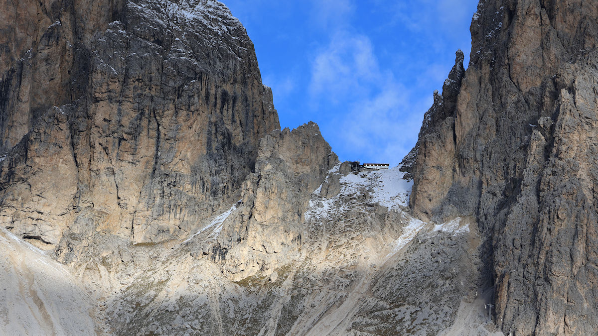
We started out at our base in Ortisei with a bus ride up Strade Statali 242, the Italian state highway that runs the length of Val Gardena. We got off the bus at Passo Sella, the starting point for our circuit hike. After a quick look at the infamous ‘coffin lifts’ going up to the Toni Demetz Hütte we found the trailhead and started our clockwise journey around this monster rock formation.
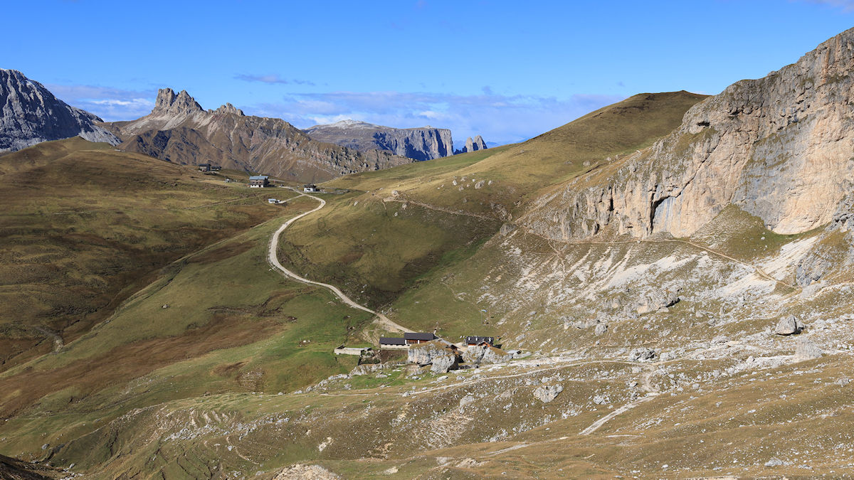
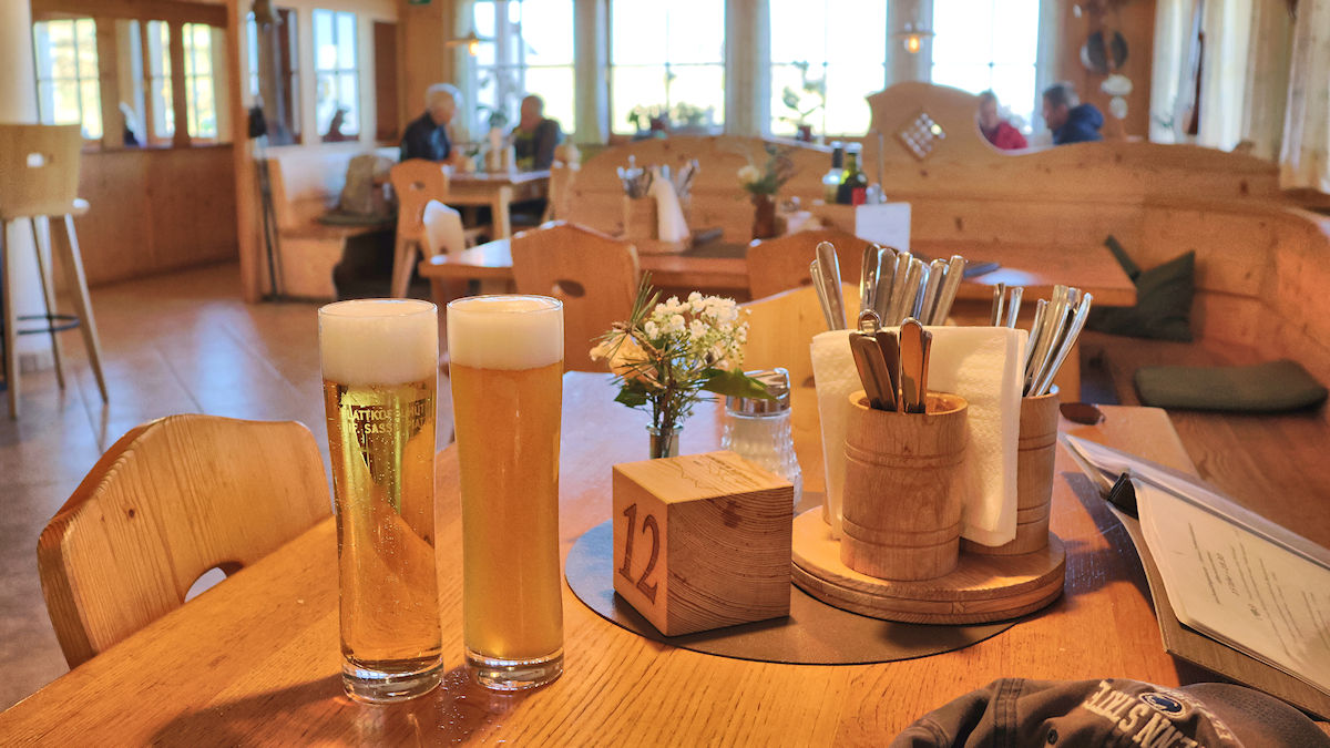
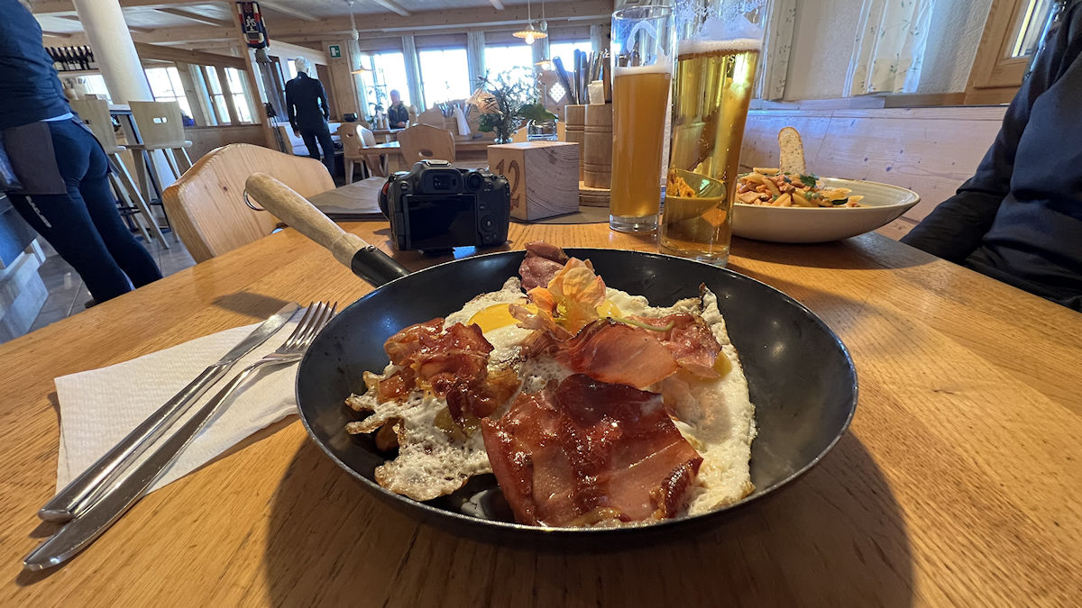
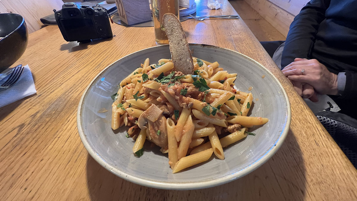
We were about one third of the way around the loop when we reached our lunch destination, the Rifugio Sasso Piatto (a.k.a. Plattkofel Hütte). We were thrilled to see the red and white Südtirol banner flying because it meant that meant that the rifugio was open for lunch. Cindy chose a dish called “Shepherd’s Macaroni”, a common hütte meal in this neck of the woods made with a tomato cream sauce over penne pasta. I had my usual hiker’s lunch, two local eggs, speck, and Rösti potatoes served in a sizzling hot skillet.
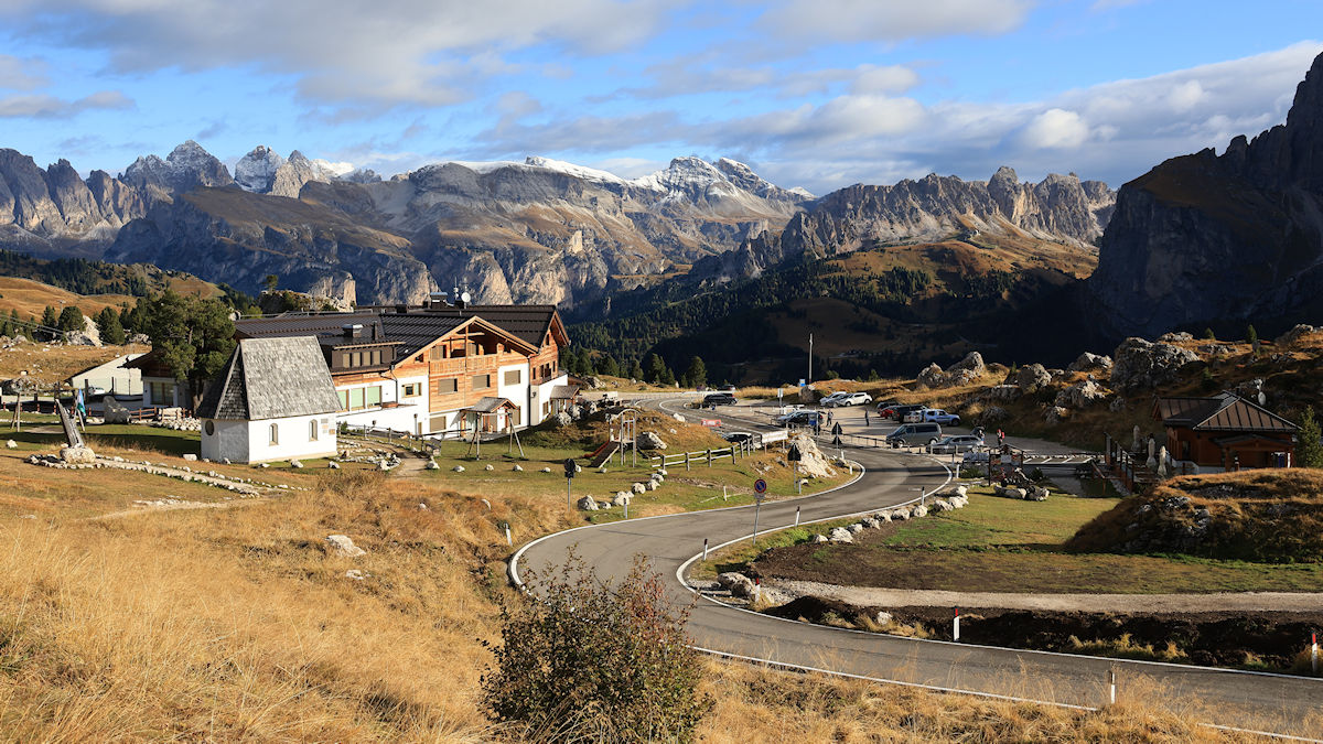
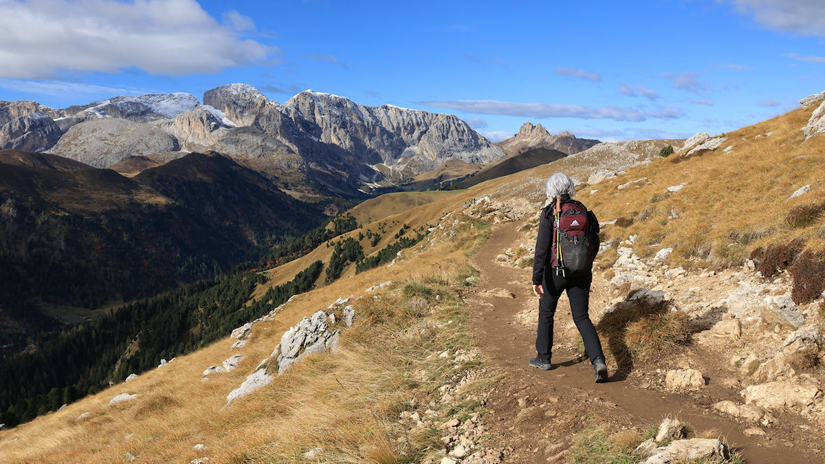
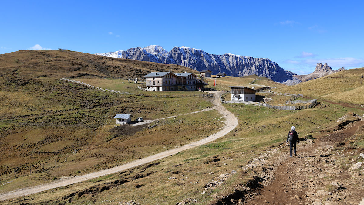
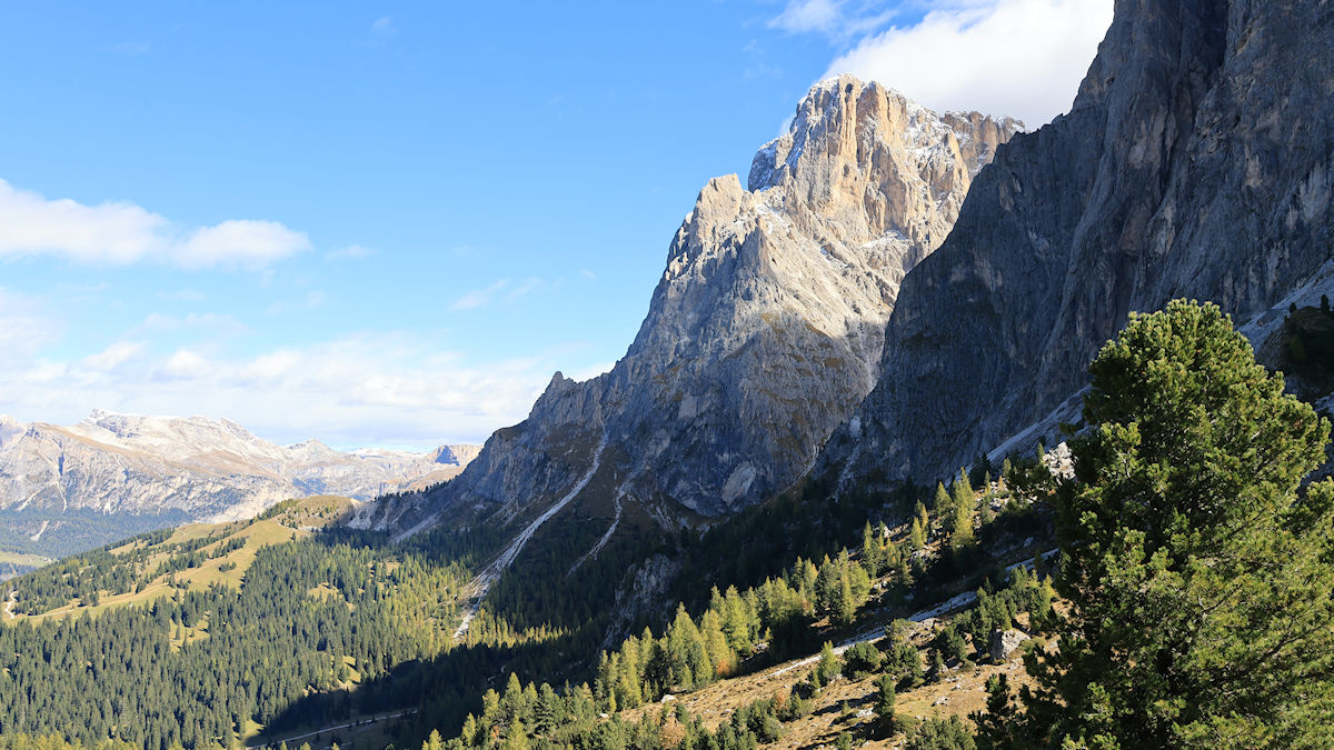
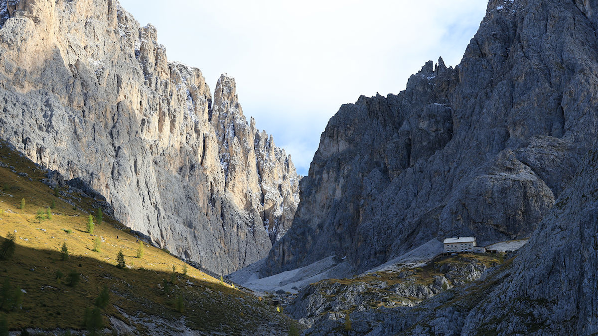
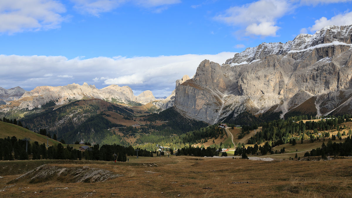
After leaving the warm and welcoming dining room at the Rifugio Sasso Piatto we headed out to continue our hike. About two hours later we passed the Rifugio Vicenza, also known in German as the Langkofelhütte. This rifugio sits in the large notch between Sassolungo and Sassopiatto that is a milestone for this hike because it means that you’re about to turn the corner and head back towards Passo Sella. It was unfortunately already closed for the season, otherwise we might have made the climb up for a much-needed break.
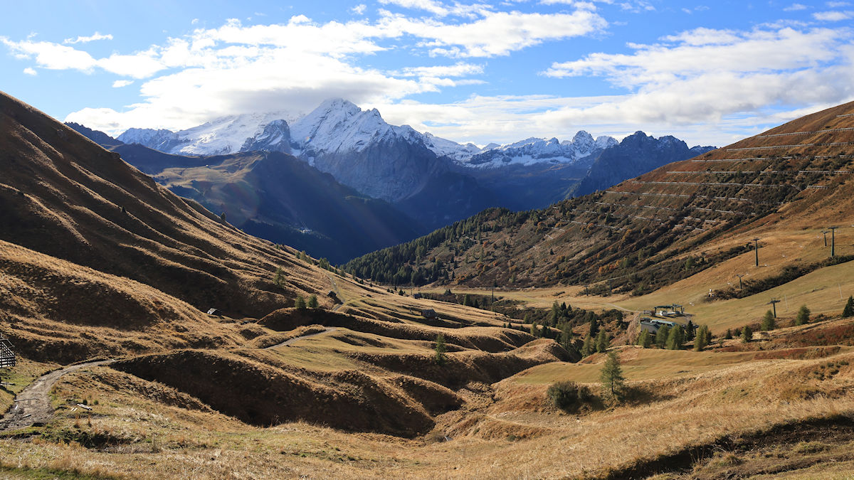
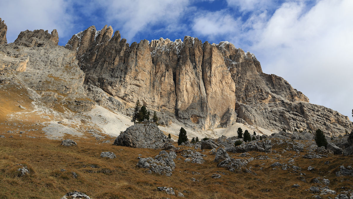
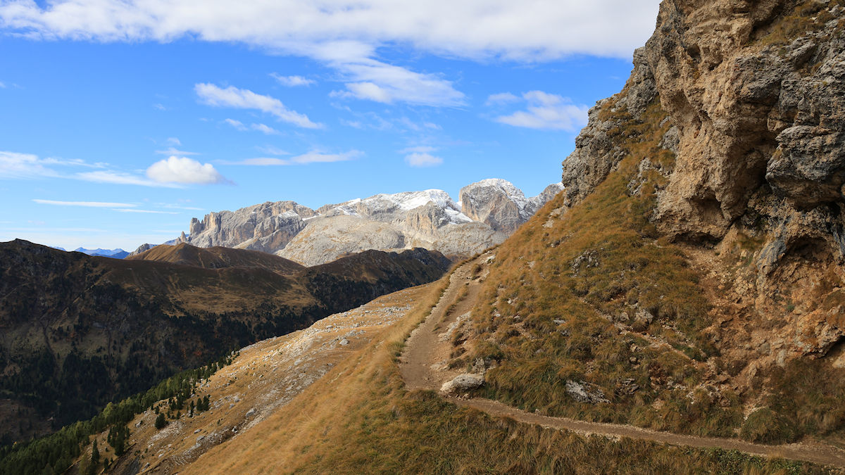
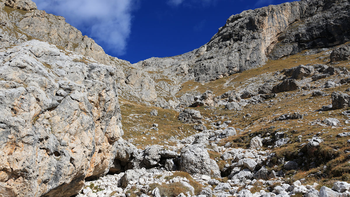
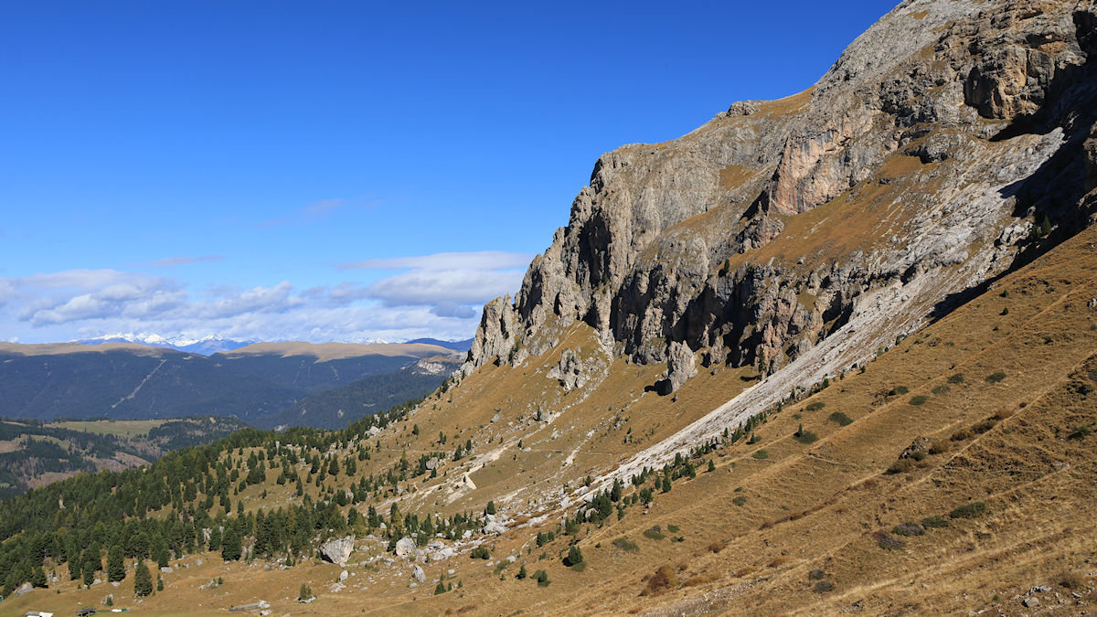
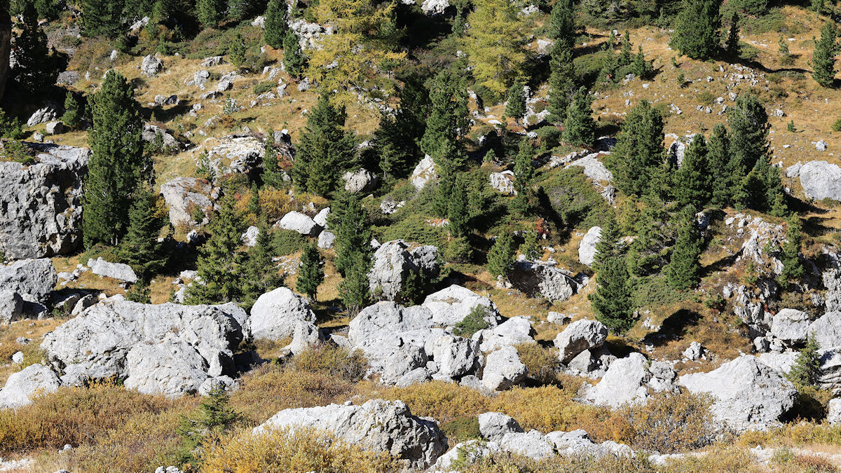
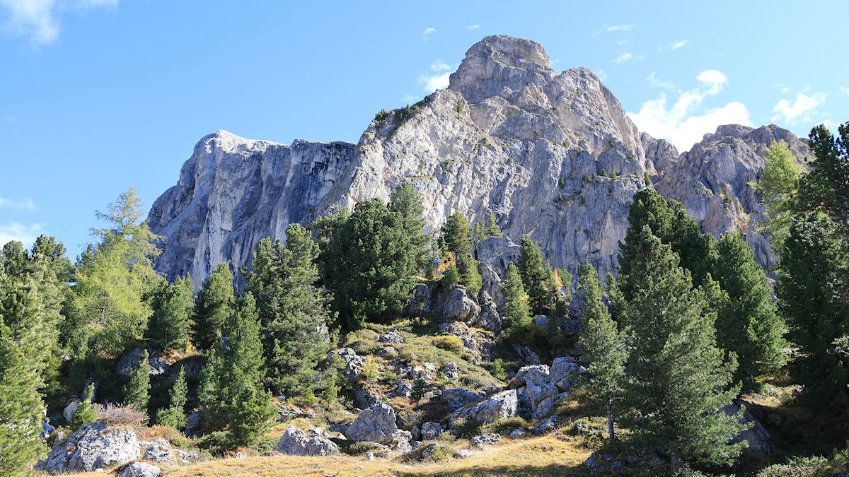
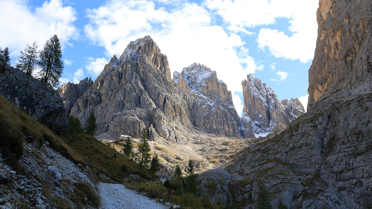
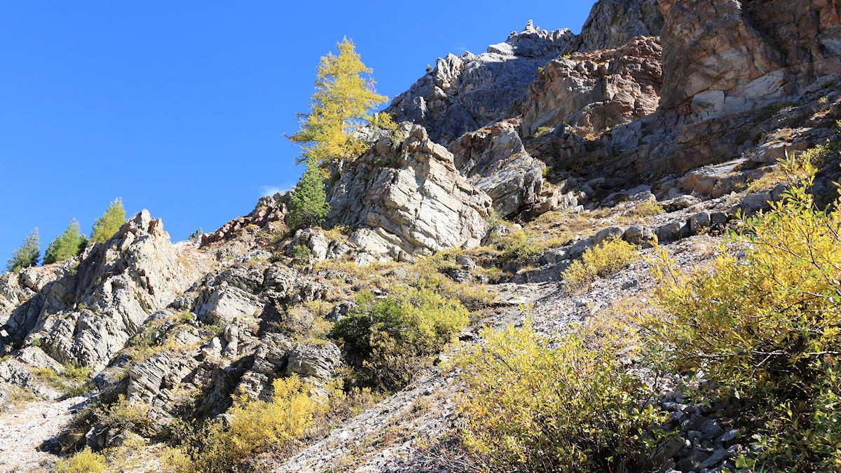
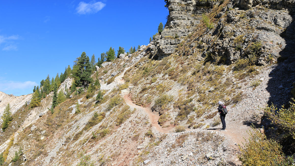
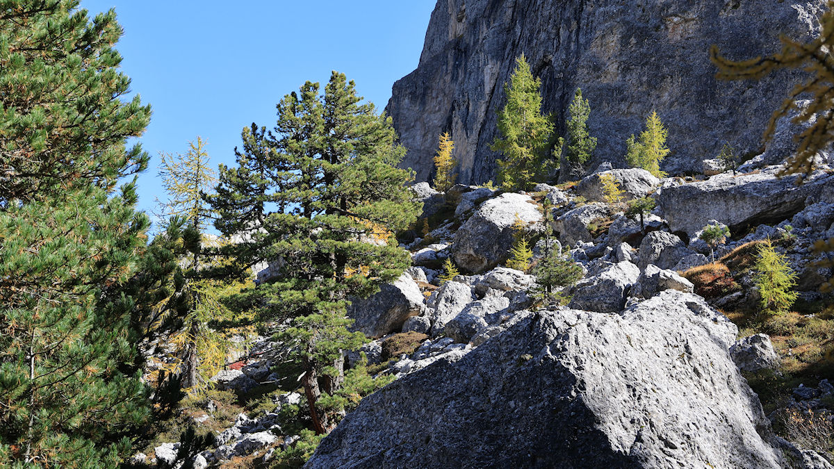
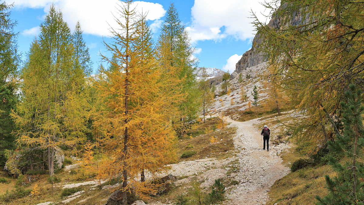
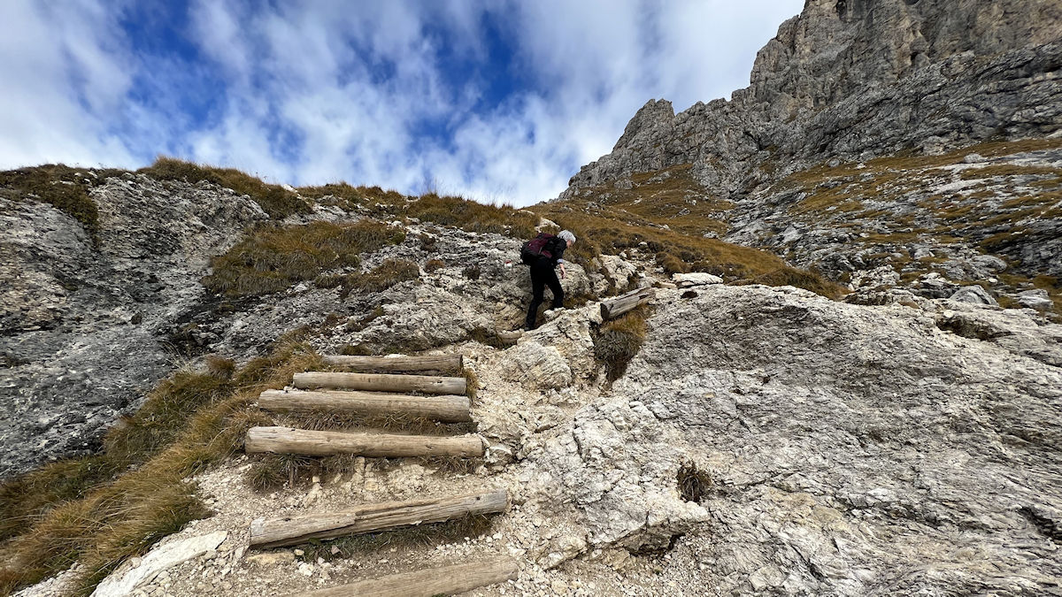
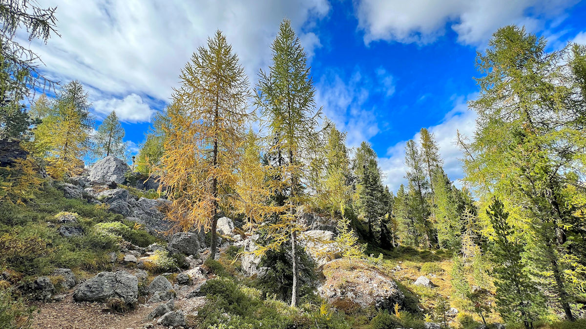
The trail was starting to get fairly challenging at this point due to the difficult and varied terrain, but the scenery made it hard to stay focused on our footing for long. This section of the trail wandered through a nice stand of larch that was interspersed with large boulders. It was quite beautiful because the larch change to a golden color before dropping their needles in the fall – rather unusual behavior for a tree that looks for all the world like an evergreen in the summertime.
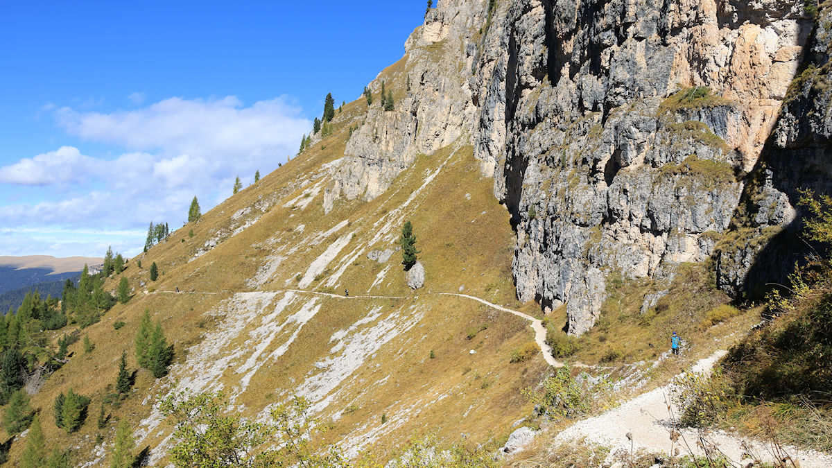
By the time we arrived back at Passo Sella we had walked 10.4 miles with 2,425 feet of elevation in just over six hours, none of them numbers that set any kind of record for us but the combination of terrain and condition nonetheless made the trail very tough both physically and mentally. I honestly didn’t take many pictures towards the end of the hike because we were both focused 100% on getting back to Passo Sella, our starting point, in one piece. The hike is rated as ‘moderate’ in terms of technicality and ‘difficult’ in terms of stamina – ratings that we agree with because quite frankly this hike kicked our butts. The trail included open meadow, woodlands, boulder fields, loose scree, log steps, and a large number of roots, rocks, and other trip hazards that forced you to pay very careful attention to the placement of each and every step in those areas.
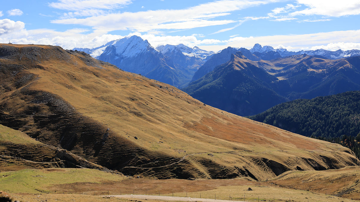
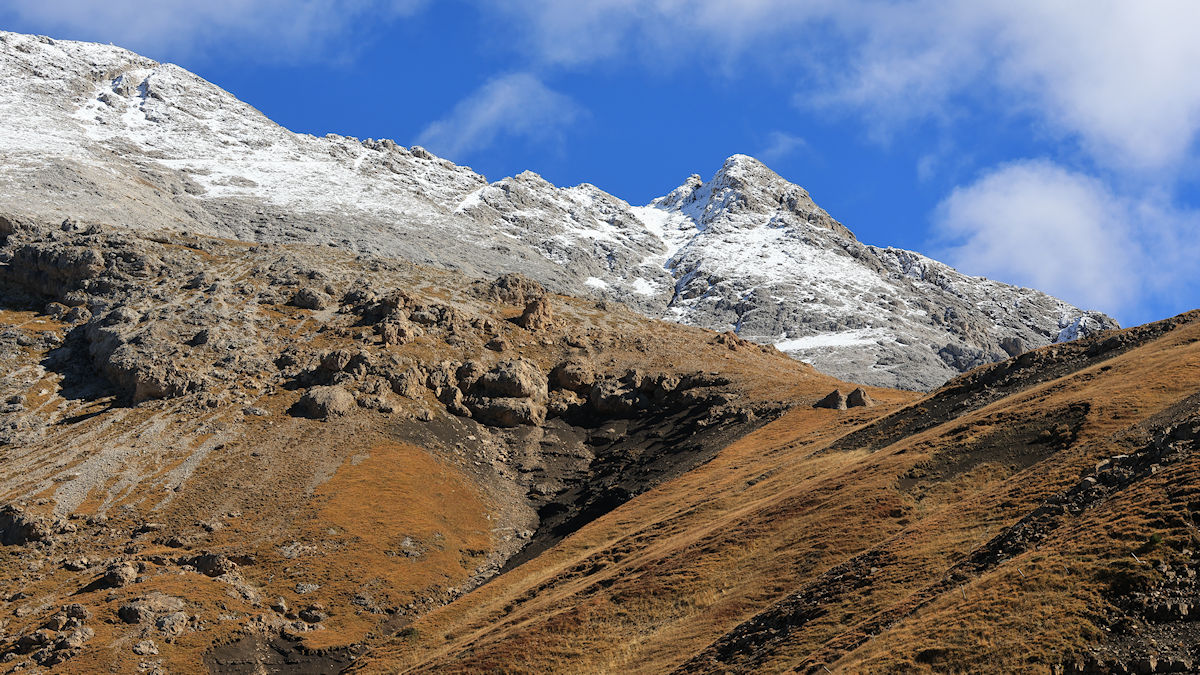
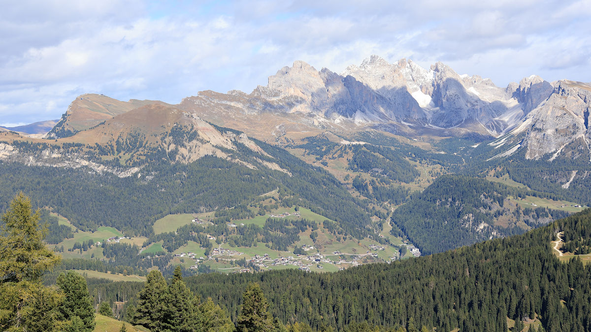
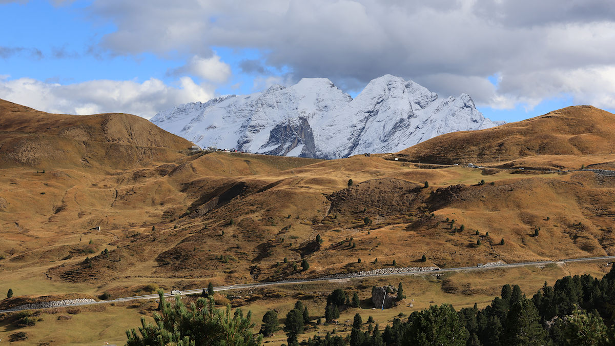
All that said, the scenery was every bit as varied as the trail and was quite spectacular. It’s no exaggeration to say that the Dolomites are a photographer’s dream. Everywhere you look is a postcard and that was certainly true during our circuit of the Langkofel Gruppe. Speaking of the weather, it won’t be long before this entire area will be blanketed with snow. There’s no surprise that this is a very popular ski resort, so hopefully we’ll get to see it dressed in winter white during a future trip.
To return to the main page for Ortisei click here.
To return to the main page for the entire trip click here.
Today’s Maps
Today’s Photos

Hiking Log
10.4 Total Miles
2,425′ Cumulative Vertical
6:03 Time On Trail
The Meals
Breakfast : In The Apartment
Lunch : Rifugio Sasso Piatto
Dinner : In The Apartment